Engineering Reality.
Digitizing the Future.
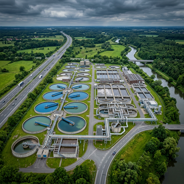
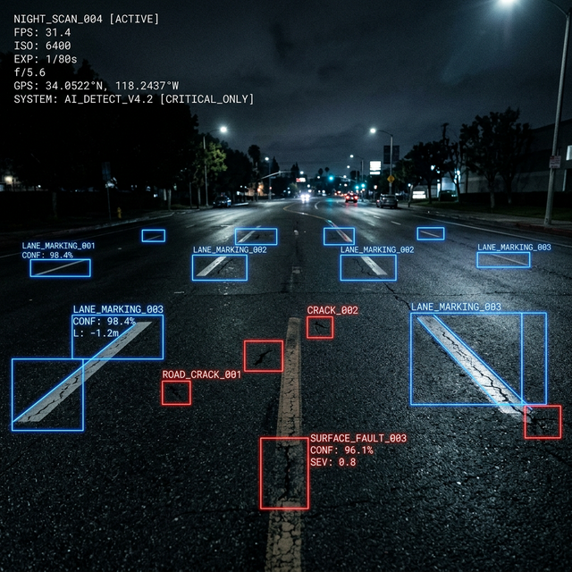
We digitize complex infrastructure, from millimeter-precise laser scans to AI-led asset management. If it’s built, we can map it, model it, and help you manage it with total confidence.
Global & Domestic Projects
Delivered across India and Worldwide
Villages Mapped
High-precision cadastral & utility surveys
km of GIS Water Networks
Mapped and digitized
Man-Years Experience
Core civil & geospatial expertise
Our Process.
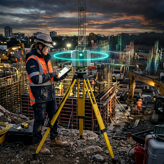
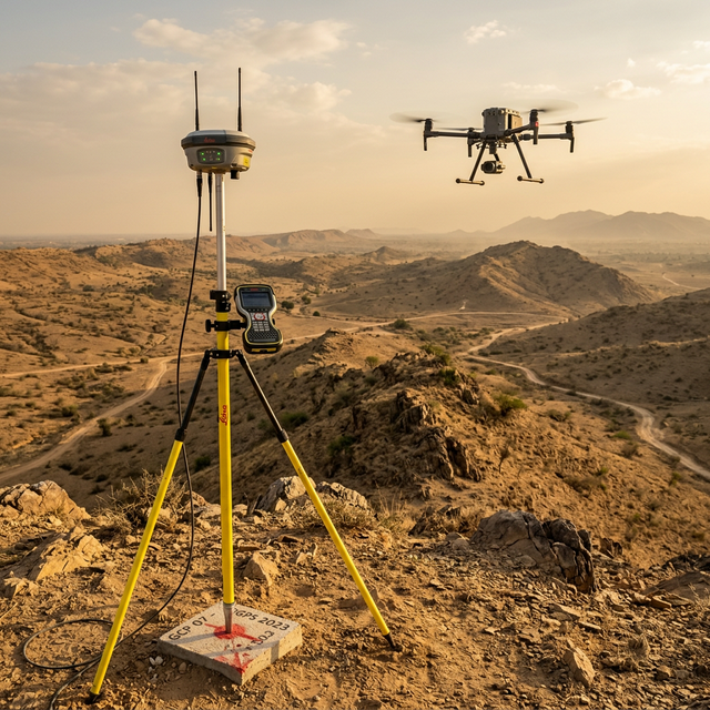
Strategic Capture
We head to the site with LiDAR and UAVs to record every detail. We don't just take pictures; we capture the spatial reality of the environment.
Spatial Data Alignment
Our specialists align the point clouds with global survey control. We clean and classify the data to make sure the digital model is accurate to the millimeter.
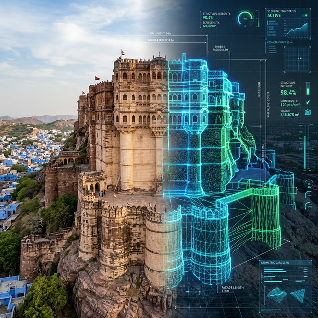
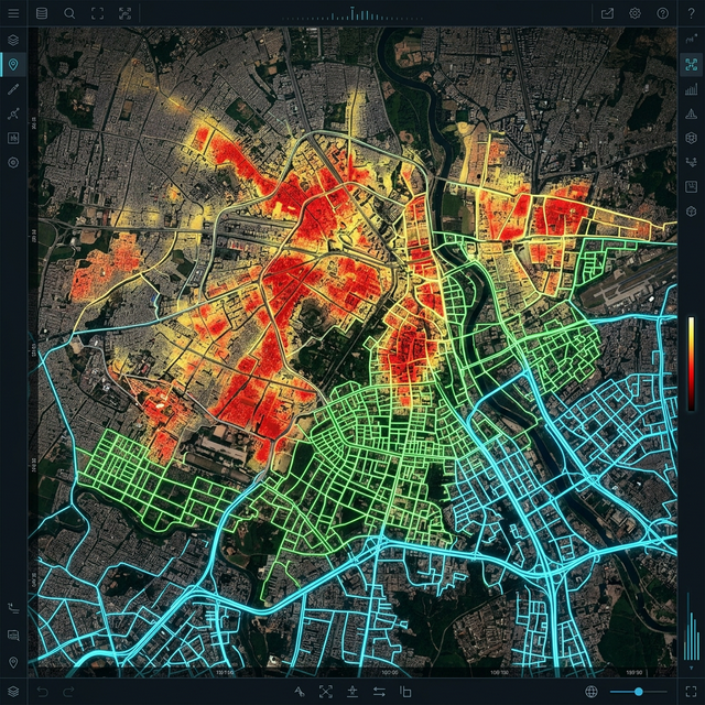
Intelligent Modeling
We turn that raw data into rich BIM models and interactive twins. This isn't just a pretty visual; it's a data-heavy asset for your engineering team.
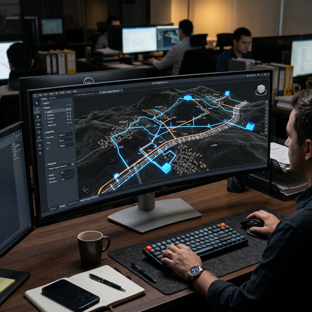
Operational Handover
We give you the tools and data needed to manage your infrastructure for the long haul. You'll know exactly what you have and how it's performing.
Ready to digitize your infrastructure?
Let's build something precise, together.