Infrastructure. Roads & Water.
Precision spatial data and engineering design for road corridors, water supply networks, and multi-village water schemes — from survey through DPR to in-service asset management.
What We Do in Infrastructure
Road Infrastructure
We support the full lifecycle of road infrastructure — from initial corridor survey to asset management in service. Our UAV and RTK surveys capture precise terrain models and existing road geometry for design input. We produce highway geometric designs to IRC standards, perform pre-construction and in-service Road Safety Audits (IRC:SP:88), and build AI-powered road asset condition inventories that give highway authorities the data they need for evidence-based maintenance decisions.
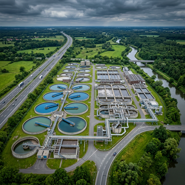
Water Supply Infrastructure
Water supply infrastructure requires precise spatial data at every stage — from source assessment and pipeline routing to distribution network monitoring. We provide hydraulic design of water supply networks, handle multi-village water scheme DPRs under JJM and state schemes, and build GIS-based pipeline asset registries that map the entire network with valve locations, pressure zones, and condition data. Digital twin models of distribution systems support leakage localisation and network expansion planning.
Integrated Survey-to-Design Workflow
Our integrated pipeline connects field survey directly to design and asset management. UAV survey provides terrain data. DGPS and RTK establish the control framework. LiDAR captures existing structures and assets. GIS integrates everything into a unified spatial dataset. This eliminates the disconnects between survey, design, and operations that cause costly errors in infrastructure delivery.
Relevant Services
FAQ
Working on a road or water project?
Send us your brief. We'll respond within 24 hours.