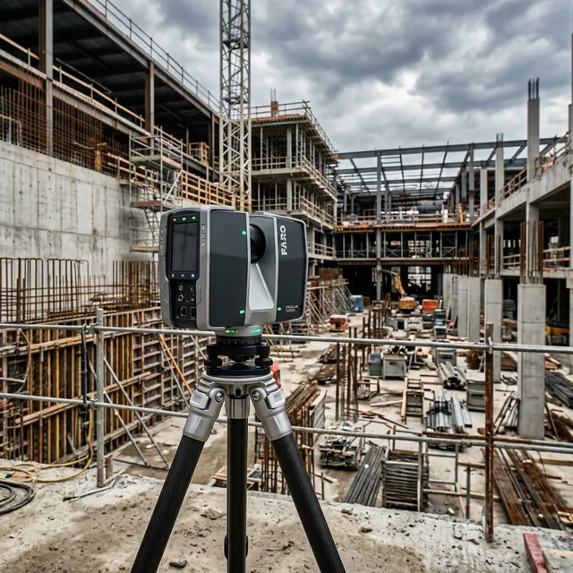
Millimeter-Precise 3D Laser Scanning & Reality Capture.
From industrial plants to heritage monuments, we capture physical reality with millimeter precision, delivering point clouds, HBIM and Gaussian splats that become geometric truth for every downstream decision.
What We Do
From millimeter-accurate LiDAR scanning and Scan-to-BIM to heritage HBIM and Gaussian splatting, one integrated workflow from field to deliverable.
Terrestrial LiDAR Scanning
FARO Focus S 350 scanning captures millimeter-accurate point clouds of structures, corridors, industrial plants, and heritage sites, registered, georeferenced, and classified for BIM, design, and digital twin workflows.
Scan to BIM
Registered point clouds converted into IFC-compliant as-built models at LOD 300–400. We deliver native Revit and ArchiCAD models for retrofit design, MEP clash detection, facility management, and as the foundational geometry for infrastructure digital twins.
Heritage Documentation & HBIM
Combined LiDAR and photogrammetry survey of monuments, forts, temples, and colonial buildings. Scan-to-HBIM converts point clouds into semantically-rich models for conservation planning and heritage authority submissions.
Gaussian Splatting & Industrial As-Builts
Neural rendering from photogrammetry sets for immersive heritage visualisations and virtual experiences. For industrial plants, refineries, power stations, LiDAR captures complete as-built geometry for retrofit engineering and facility management.
Technical FAQ
Precision as a Standard.
Reality capture is only useful if it's accurate. We deliver engineering-grade datasets that comply with international quality metrics for spatial data.
Send us your project brief. We'll get back to you within 24 hours.
Initialize Project