Urban Infrastructure.
Asset management, decision support systems, advanced surveying for urban mapping, and flood risk management — spatial intelligence at the scale of cities.
What We Do in Urban Infrastructure
Urban Asset Management
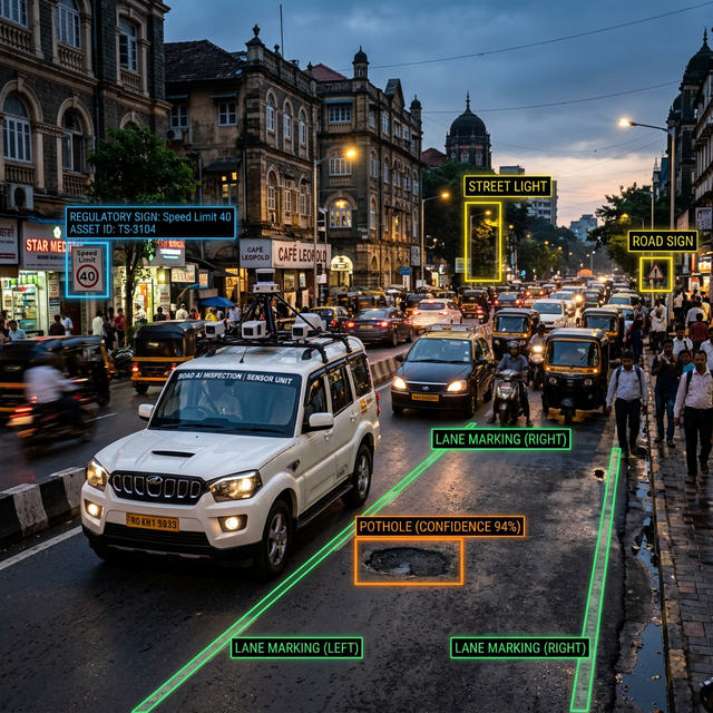
City-scale inventory of street furniture, utilities, pavements, drainage infrastructure, and public amenities using UAV photogrammetry and AI-powered object detection. We deliver GIS-linked asset registers for municipal bodies — structured databases that give urban administrators a complete, spatial picture of their infrastructure stock, with condition scores and maintenance histories for every asset class.
Decision Support Systems
We build open-source web GIS dashboards that serve as operational decision support tools for city administrators, urban planners, and infrastructure managers. Built on GeoServer and Leaflet, these platforms display live infrastructure data layers, support attribute-based queries, generate maintenance priority maps, and produce scheduled reports. Decision makers get real-time spatial intelligence without enterprise software licensing costs.
Advanced Surveying for Urban Mapping
Urban mapping demands speed and precision across large, complex areas. We deploy UAV photogrammetry for orthomosaic base maps, LiDAR for building envelope and street-level point clouds, and RTK control networks to tie everything to a common spatial reference. These datasets drive urban master planning studies, road widening corridor design, utility network surveys, and smart city platform inputs.
Flood Risk & Management
UAV-derived Digital Terrain Models (DTMs) and hydrological analysis give urban planners the tools to delineate flood-prone zones, design drainage interventions, and assess the impact of proposed development on catchment hydrology. We produce flood inundation maps, drainage capacity assessments, and stormwater management plans that support municipal flood risk policy and infrastructure investment decisions.
Relevant Services
FAQ
Ready to map your city?
Tell us about your urban project. We'll get back to you within 24 hours.